To protect and care for places so people and nature can thrive
As Europe’s biggest conservation charity, the National Trust look after nature, beauty and history for everyone to enjoy.
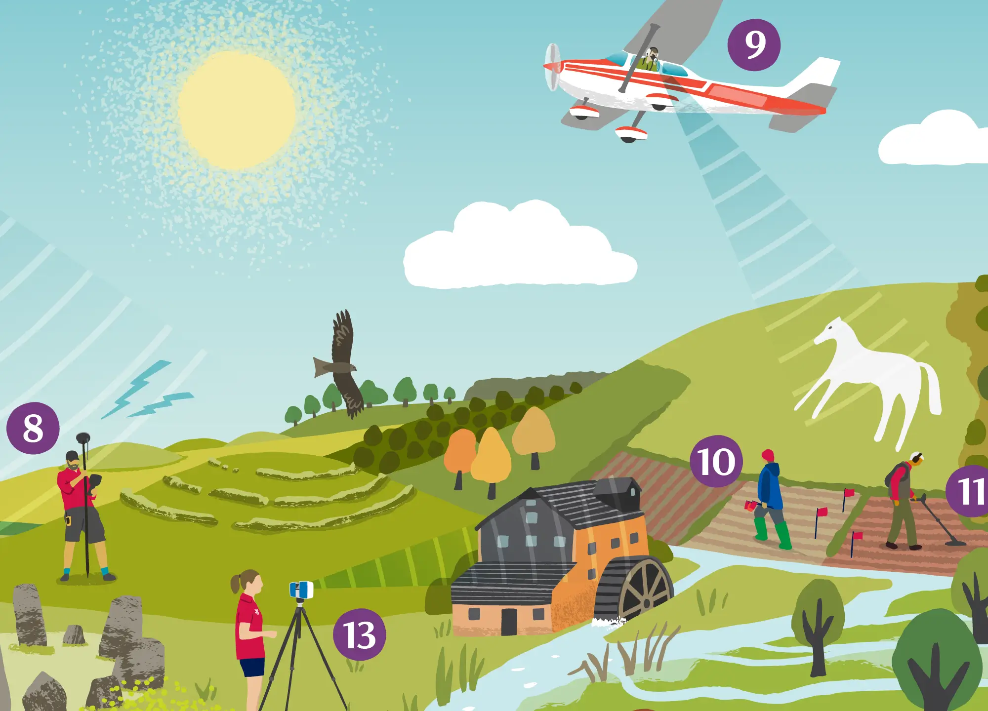
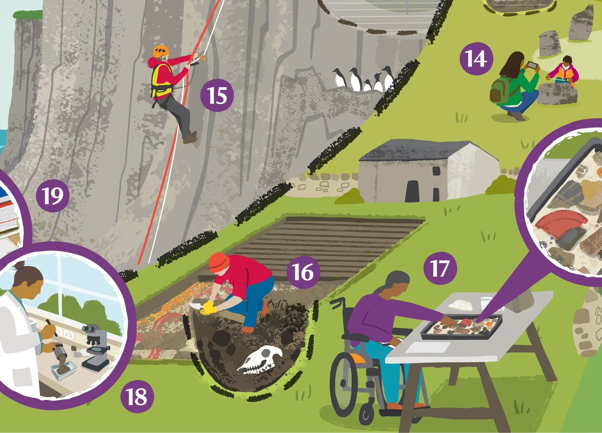
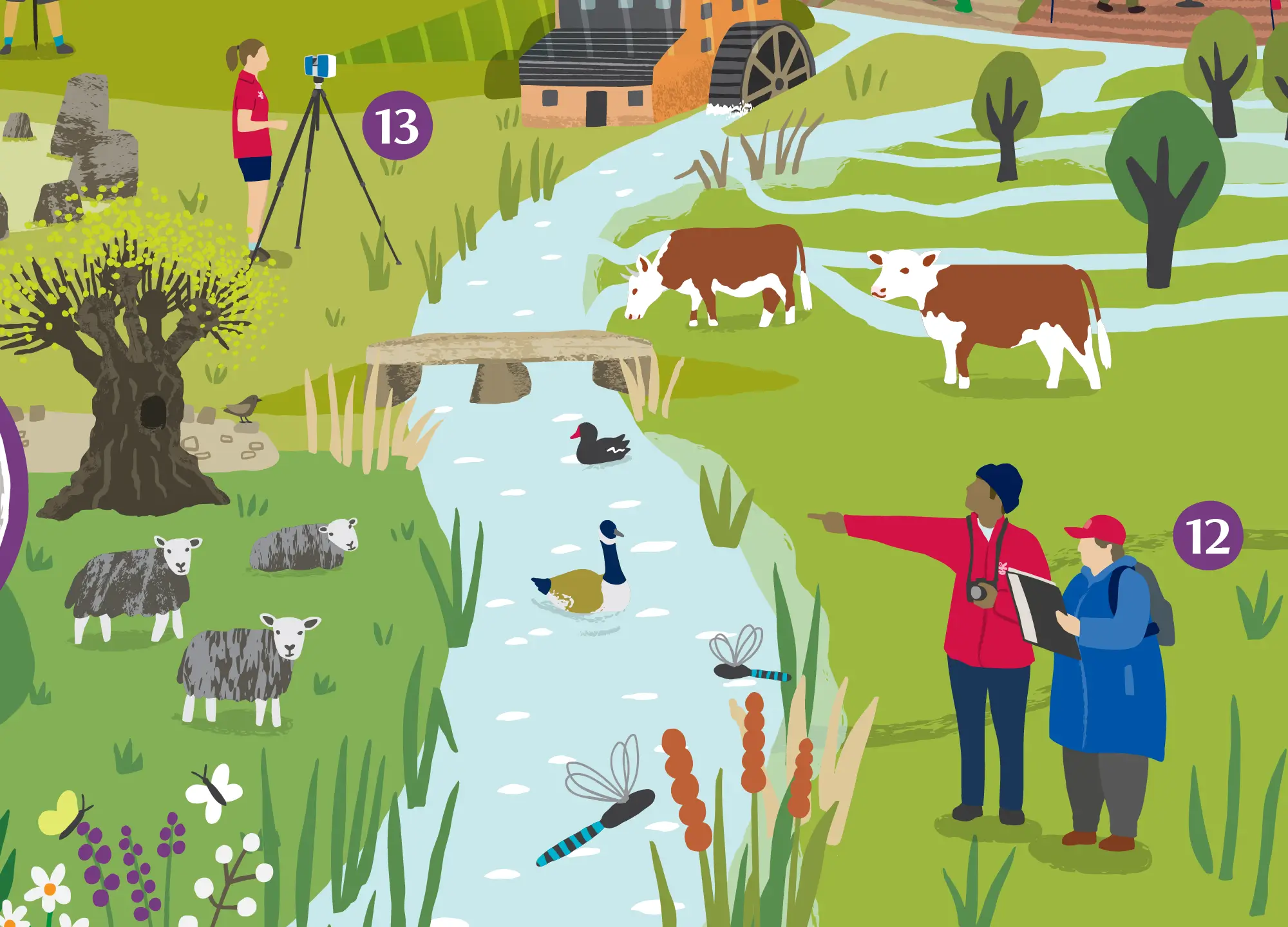
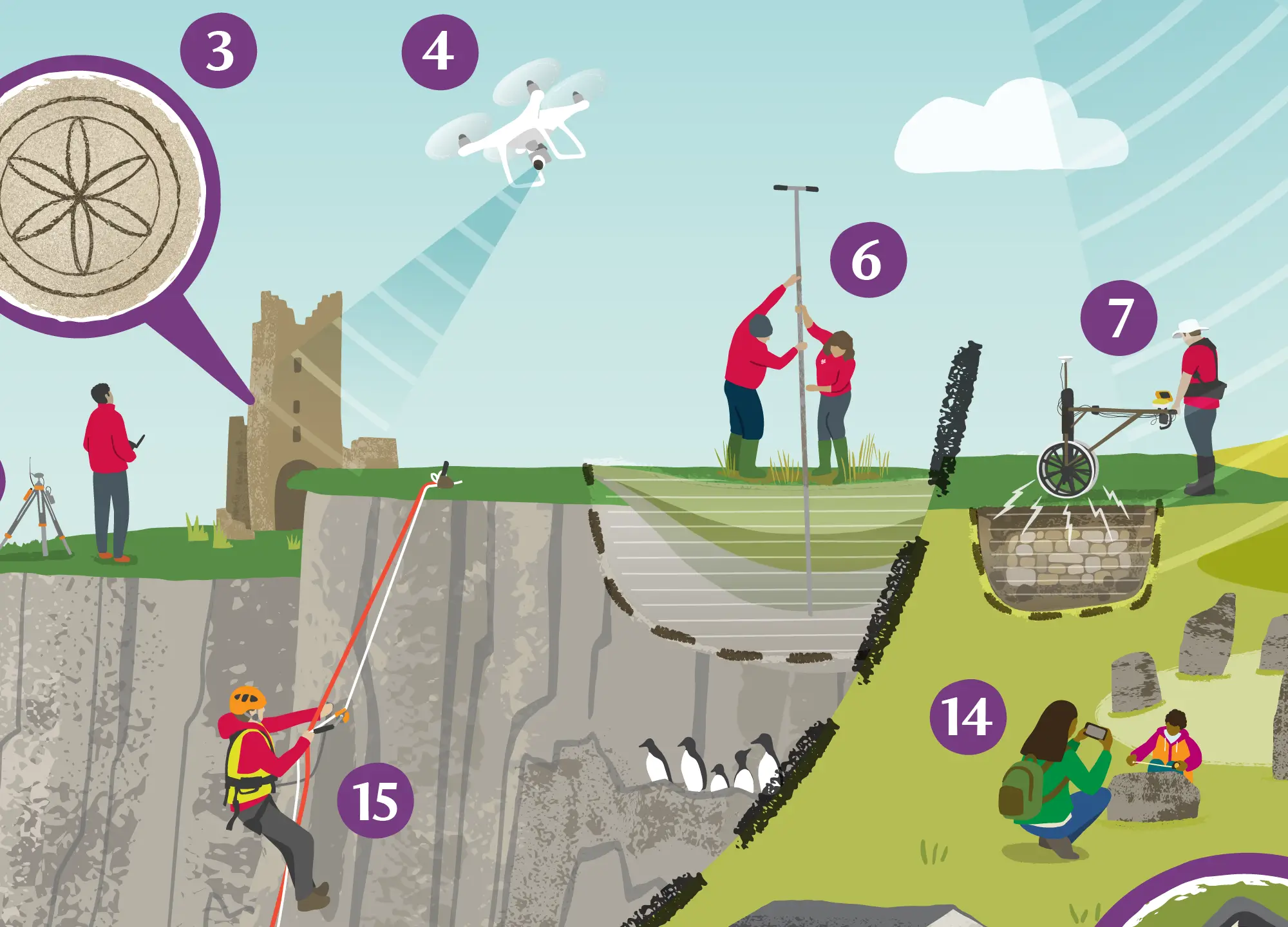
This illustration features as part of new Historic Environment Guidance notes, for use internally within the National Trust.
It is a development of a previous ‘Toolkit Graphic’ I created for the CHERISH Project a number of years ago – designed to extend the scope of the original in terms of content, and to incorporate references to different kinds of landscapes, specific to the National Trust.
The purpose of the illustration is to highlight the numerous survey techniques and possible means of gathering information about historical places of interest, in a way that is highly relevant for different kinds of landscapes and reflects the diverse range of archaeological sites looked after by the National Trust.
With an approachable graphic style the illustration serves as a talking point and is a great way to signpost the possible options for teams looking to gain knowledge and discover more about the history of the places in their care.
Ultimately helping them to share uncovered stories of the past and protect such places for the future.
Original Version
For reference, this is the illustration I originally created for theCHERISH project – one of a number of project graphics for an EU-funded study into the impacts of climate change on coastal heritage sites of Wales and Ireland.