For people to get outside more and to enjoy community outdoor spaces, local countryside and nature
Tytherington is a rural village in South Gloucestershire – A close-knit and growing community of around 600+ residents.
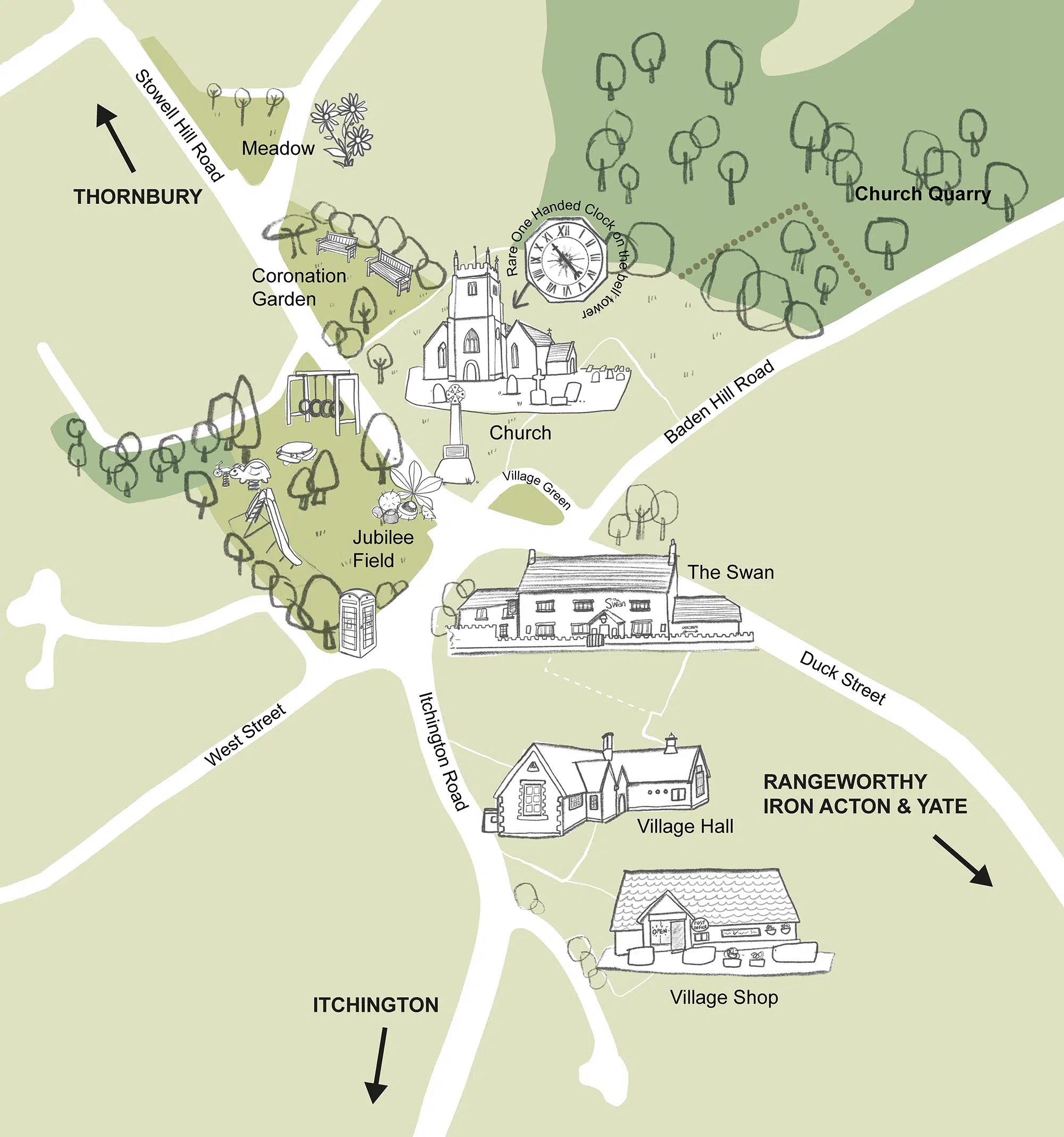
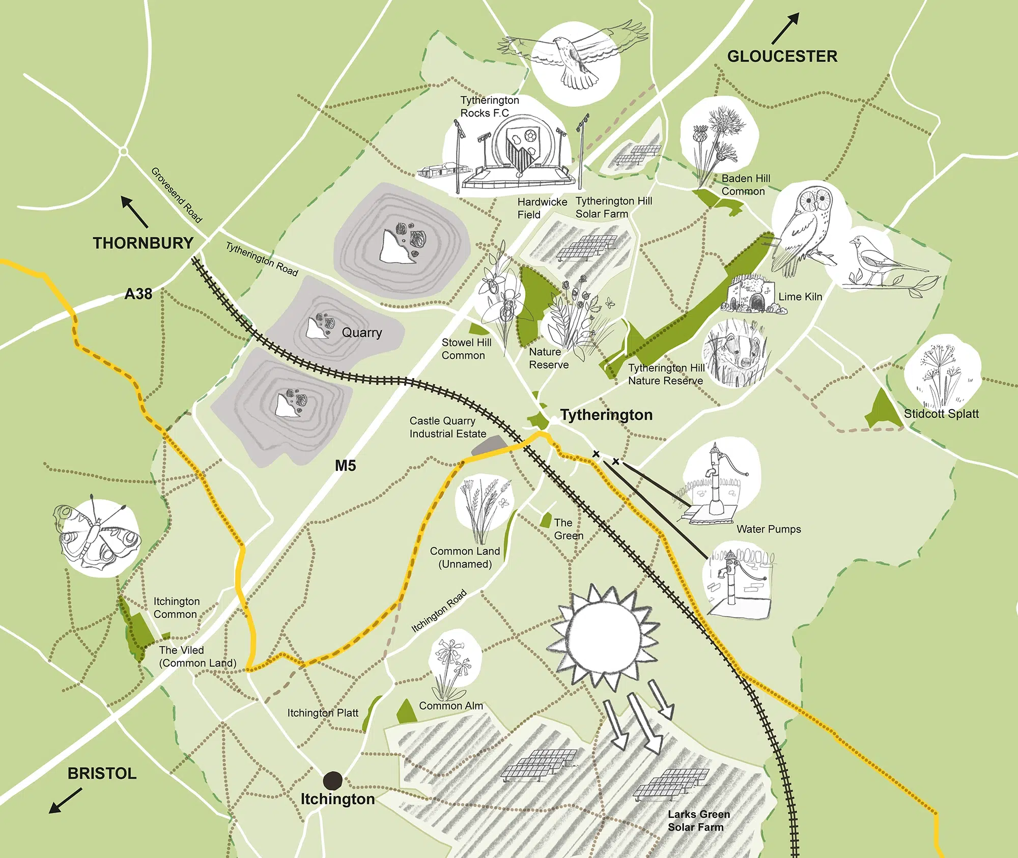
This map is to help ensure local residents, and particularly those moving into the area, are aware of how accessible the countryside around them is, and to give a wider sense of what can be found locally.
Featuring public open spaces, local walking routes and public rights of way, the map has been commissioned to make it easier for people to get outdoors, explore and enjoy nature.
Designed to be fun and engaging for children and families, as well as older residents – there are lots of details to spot! Although highly simplified in terms of geography, the public rights of way are all accurately plotted.
The map has been printed as a large scale board, located in the central play area of the village and is also featured on the Biodiversity page of the Parish Council’s website here
Process
As with all map projects I work on, my process starts with drawing out a base map and then sketching the illustrated elements to be included and positioning them over the map.
In this instance there were 2 maps – the village and the wider area – to combine into one overall layout, and then populate with a people and activities. These sketches were shown to the client for approval before I progressed onto working up the final artwork.